
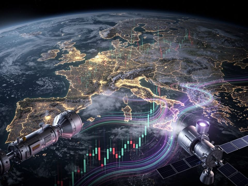
How Satellite Images Are Now Predicting Market Moves
Long before official reports hit the press, sophisticated investors are predicting economic shifts by analyzing high-resolution satellite imagery, transforming what was once spycraft into a formidable source of market intelligence. This practice gives funds a measurable edge by providing a direct, unfiltered view of economic activity on the ground, often weeks or months before government agencies or corporations release their official data. The view from orbit is no longer just for cartographers and intelligence agencies; it has become a powerful tool on Wall Street.
This type of information is known as 'alternative data'-information gathered from non-traditional sources to gain a competitive advantage. While official economic indicators like GDP growth or unemployment rates are lagging reports of past performance, alternative data offers a real-time glimpse into what is happening right now. From counting cars in a parking lot to measuring the shadows inside an oil storage tank, the applications are as creative as they are effective, providing quantifiable metrics that can be fed directly into trading algorithms.
From Orbit to Trading Floor
The process begins with satellite imaging companies that operate constellations of small, powerful satellites constantly circling the globe. These firms capture vast amounts of high-resolution imagery and sell access to data analytics providers. These providers then apply proprietary machine learning models to scan the images for specific, economically relevant signals. The output is not a pretty picture but a clean, structured dataset-for example, a daily car count for every Home Depot in North America or a weekly measurement of iron ore stockpiles at a Chinese port.

The Retail Sector Under the Lens
One of the most classic and widely understood applications of satellite data is in monitoring the retail sector. Before a company like Walmart or Costco releases its quarterly earnings report, its stock price can be subject to significant speculation. By using satellite imagery to track car counts in their parking lots over the course of a quarter, analysts can build a surprisingly accurate forecast of foot traffic. A sustained increase in traffic relative to the previous quarter or the same period last year can strongly indicate that the company will report better-than-expected sales, allowing traders to position themselves accordingly.
Gauging Global Commodities
The impact on commodity markets is even more direct. Consider global crude oil inventories, a key driver of oil prices. Many large oil storage tanks are built with floating roofs that rise and fall with the level of oil inside. From a satellite's perspective, the shadow cast by the rim onto the roof changes in size. A tiny shadow means the tank is full; a large shadow means it is nearly empty. By aggregating this data from thousands of tanks around the world, data firms can generate a highly accurate, near real-time estimate of global oil supply, bypassing the often-delayed official reports from organizations like the EIA.

This same logic applies across the board. Analysts track the health of farmland in Brazil to predict soybean yields, monitor the number of ships waiting outside major ports to gauge supply chain stress, and even measure the nighttime light output of industrial zones to estimate manufacturing activity in countries with opaque official data. Each data point provides another piece of a complex economic puzzle.
The Information Advantage and Its Limits
The primary value of this data is the information advantage, or 'alpha', it provides. Hedge funds and other large institutional investors pay substantial fees for exclusive or early access to these datasets. In a market where speed is everything, having reliable information hours, days, or weeks before the general public can be the difference between an average return and a spectacular one. It allows for proactive strategy based on observable trends rather than reactive trading based on old news.
However, this technology is not an infallible crystal ball. The data can be 'noisy'-affected by weather, image quality, or other variables-and requires immense computational power and sophisticated statistical modeling to be useful. Furthermore, the high cost of both the raw imagery and the analytical services puts it far out of reach for the average retail investor, creating a wider information gap between them and institutional players. It is a powerful tool, but one that demands expertise and significant capital to wield effectively.
Key Takeaways
- Satellite imagery has become a primary source of 'alternative data' for institutional investors seeking a market edge.
- It provides near real-time insights into economic activity, including retail traffic, commodity inventories, and supply chain movements.
- This data offers a predictive advantage over traditional, lagging economic reports released by governments and corporations.
- The high cost and complexity of analysis mean its use is currently concentrated among hedge funds and large financial firms.
Ultimately, the use of satellite data represents a fundamental evolution in market analysis. It marks a shift away from interpreting the past and toward quantifying the present to predict the future. In the world of modern finance, it is proof that sometimes the biggest picture-the one captured from hundreds of miles above the Earth-provides the sharpest and most profitable insights.